 My GeoNetwork catalogue
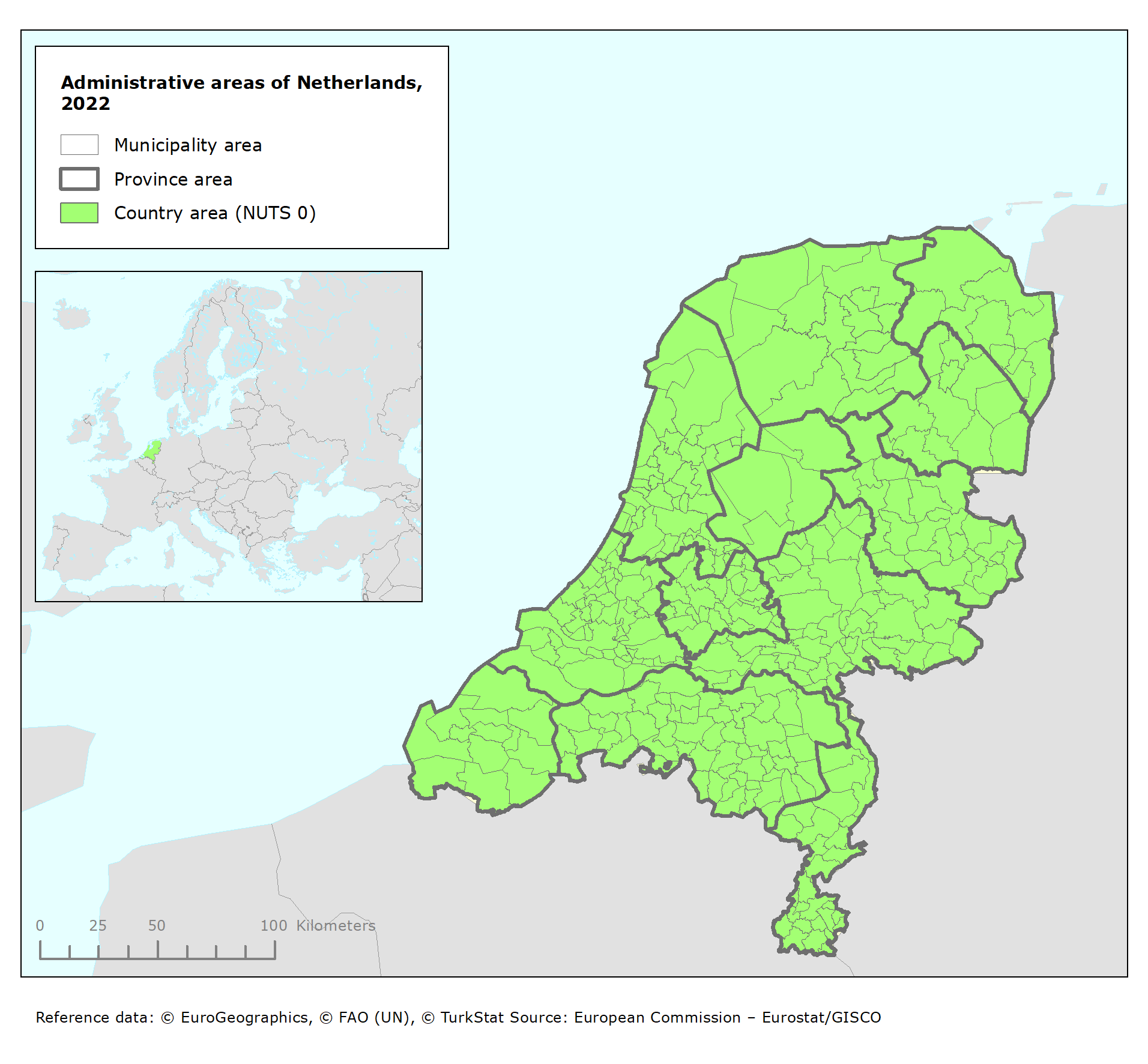
Administrative areas of Netherlands, 2022
This metadata covers the dataset of the administrative areas in the Netherlands that consists of municipal, provincial and national areas. The original dataset is published in the Public Service on the Map (PDOK) platform in the Netherlands which ensures the access to the basic geo-registries and other core geo-datasets in the Netherlands.
About PDOK: Public Services on the Map (PDOK) is a platform for unlocking geodatasets from Dutch government. This covers current and reliable data for both the public and private sectors. PDOK makes digital geo-information available as data services and files. The PDOK services are based on open data and are therefore freely available to everyone.
The dataset of the administrative areas of the Netherlands, version 2022, is used as the reference dataset of NUTS (statistical units) and LAU (local administrative units) for the reporting under the Environmental Noise Directive in the reporting cycle 2020 - 2025.
Simple
- Date (Creation)
- 2022
- Date (Publication)
- 2022
- Edition
-
01.00
- Citation identifier
- pdok_v_28992_100_k_adm-areas-netherlands_p_2022_v01_r00
- Point of contact
-
Organisation name Individual name Electronic mail address Role European Environment Agency
Point of contact European Environment Agency
Custodian
Point of contact
Point of contact
- Maintenance and update frequency
- Annually
- Keywords
-
- Keywords
-
-
Continents, countries, sea regions of the world.
-
-
Countries
-
Netherlands
-
-
Spatial scope
-
-
National
-
-
EEA Management Plan
-
-
2024 3.2.3
-
- Access constraints
- Other restrictions
- Other constraints
- no limitations to public access
- Use constraints
- Other restrictions
- Other constraints
-
The PDOK services are based on open data and are therefore freely available to everyone following the terms and conditions as specified in this page: https://www.pdok.nl/copyright
- Spatial representation type
- Vector
- Language
- Nederlands; Vlaams
- Language
- English
- Topic category
-
- Environment
- Boundaries
))
- Begin date
- 2022-01-01
- End date
- 2022-12-31
- Supplemental Information
-
The original resource (dataset) is version 2022, available in the PDOK platform.
- Description: https://www.pdok.nl/introductie/-/article/bestuurlijke-gebieden
- Metadata: https://www.nationaalgeoregister.nl/geonetwork/srv/dut/catalog.search#/metadata/208bc283-7c66-4ce7-8ad3-1cf3e8933fb5
- Unique resource identifier
- EPSG:28992
- Distribution format
-
Name Version GeoPackage
- OnLine resource
-
Protocol Linkage Name EEA:FOLDERPATH
https://sdi.eea.europa.eu/webdav/datastore/public/pdok_v_28992_100_k_adm-areas-netherlands_p_2022_v01_r00/ WWW:URL
https://sdi.eea.europa.eu/data/4c8ebbd9-8cbf-4e0c-8a76-26c110c585fe Direct download
WWW:LINK-1.0-http--link
https://www.pdok.nl/introductie/-/article/bestuurlijke-gebieden The platform for high-quality geodata
OnLine resource
- OnLine resource
-
Protocol Linkage Name DOI
https://doi.org/10.2909/4c8ebbd9-8cbf-4e0c-8a76-26c110c585fe
- Hierarchy level
- Dataset
Domain consistency
Conformance result
- Title
- Commission Regulation (EU) No 1089/2010 of 23 November 2010 implementing Directive 2007/2/EC of the European Parliament and of the Council as regards interoperability of spatial data sets and services
- Date (Publication)
- 2010-12-08
- Explanation
-
See the referenced specification
- Statement
-
The dataset includes the following levels of administrative units:
- country area, the layer corresponds with the NUTS0 class (landgebied) [1 feature]
- province areas, the layer corresponds with the NUTS2 class (provinciegebied) [12 features]
- municipality areas, the layer corresponds with the LAU class (gemeentegebied) [344 features]
Coordinate reference system: EPSG:28992 Amersfoort / RD New - Netherlands
Metadata
- File identifier
- 4c8ebbd9-8cbf-4e0c-8a76-26c110c585fe XML
- Metadata language
- English
- Character set
- UTF8
- Hierarchy level
- Dataset
- Date stamp
- 2025-10-09T10:49:28.428365Z
- Metadata standard name
-
ISO 19115/19139
- Metadata standard version
-
1.0
- Metadata author
-
Organisation name Individual name Electronic mail address Role European Environment Agency
Point of contact
)))
